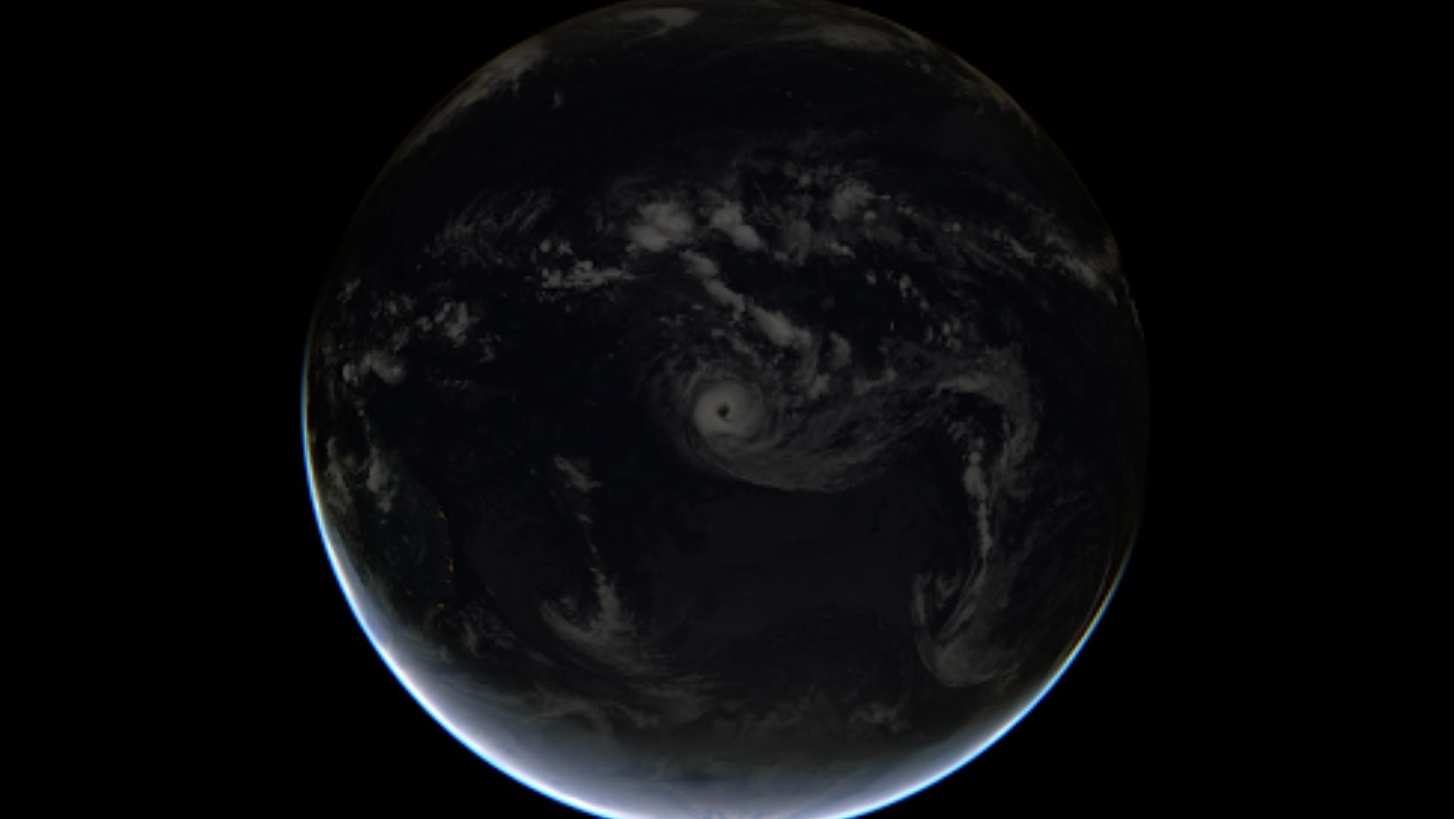
Today, satellites help us with so many different tasks, from forecasting weather to providing internet connectivity, that it’s practically habitual to take space tech for granted. Yet, even such mundane tasks as weather forecasts are backed up by advanced technology and volumes of data analysis. As our technological capabilities grow, monitoring and prediction accuracy also improve – not only in routine weather forecasts but also in tracking natural disasters.
Today’s advances in space tech allow us to monitor and, to a certain extent, predict even such large-scale volatile phenomena as tropical cyclones. New developments in satellite buses, such as these https://dragonflyaerospace.com/satellite-buses/, introduced by private companies, play a huge part in this. So, why is it important to keep tracking tropical cyclone activity, and how exactly does space tech help? Discover this and more in the paragraphs below.
Why Is Tracking A Tropical Cyclone Important
Besides the obvious first-hand benefits of saving lives and alleviating the tropical cyclone disaster consequences, space monitoring helps scientists gain a better understanding of the ever-accelerating climate change, which affects many processes on our planet. More specifically, long-term monitoring and analysis of tropical cyclones is one of the many areas of climate change monitoring.

Right now, the correlation between these two is already obvious because the rising global temperatures have an immediate effect on the distribution of tropical storms, as well as their frequency and intensity. Here are just some insights on how global climate change affects tropical cyclones that were obtained thanks to 24/7 satellite monitoring and data analysis:
● Tropical cyclone intensity has been increasing by 5% a decade since 1979 because rising global temperatures provide more ‘fuel’ for tropical cyclones formed from moisture that rises from warm waters.
● Increased moisture levels often lead to rapid cyclone intensification; this figure has also been growing at an alarming rate since the 1980s;
● The distribution of tropical cyclones is also changing as more areas now have favorable water temperatures to fuel the tropical cyclones. That is, tropical cyclones are using new, often unexpected paths, which is a pressing problem in many regions, especially Southeast Asia.
So, regular monitoring of tropical cyclones and their changing patterns can, in the short term, save lives. In the long term, it is vital to understand the changes our planet is going through.
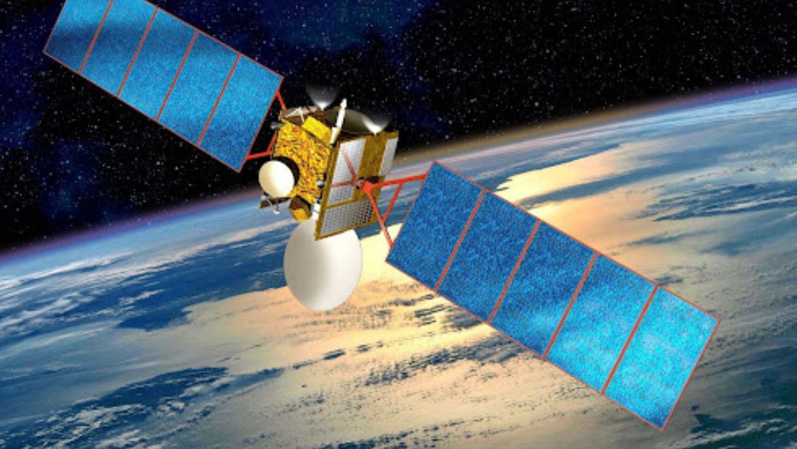
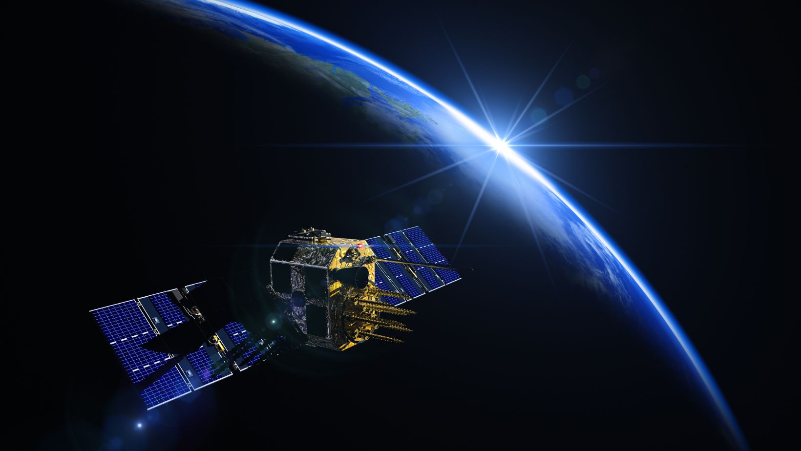
But how do satellite buses track storms? First, let’s clarify some basic terms. A satellite bus is a platform that holds all essential spacecraft components together, including satellite sensors that track and measure tropical cyclone distribution. How the tracking happens usually depends on specific equipment tailored to each satellite mission. So, let’s take a better look at those.
Which Satellite Buses Are Used For Cyclone Monitoring?
Even today, few spacecraft buses are designed specifically for tropical cyclone monitoring – most currently available satellite remote sensing platforms have a larger purpose of environmental monitoring, in general. The platforms differ not only in the equipment and sensors they carry but also in orbital placement.

Here are just some destinations by their orbital position:
● Low Earth Orbit (LEO): LEO is the closest orbit, which has the highest number of Earth observation (EO) satellites. Often, LEO satellites ‘travel’ from pole to pole, which ensures the best coverage, including for tropical monitoring. To fully leverage this ‘viewing angle,’ EO satellites are often grouped into constellations. The most notable LEO constellation designed specifically for tropical cyclone monitoring is TROPICS, equipped with advanced microwave radiometers that ensure 24/7 storm monitoring.
● Geostationary Orbit (GEO): these satellites are located directly above the equator, which is a perfect position for monitoring tropical cyclones. One of the leading examples in this category is the GOES series, first launched in 1975 and still standing watch of our planet – but using the 16th generation of the original ‘version.’ This series is equipped with advanced imagers that allow next-to-real-time tracking.
● Medium Earth Orbit (MEO): this orbit is perfect for collecting data on atmospheric precipitation, and the most famous EO satellite here is Sentinel. Sentinel-6A version, designed in collaboration with several public and private parties, provides a wealth of data on sea surface levels and temperatures, allowing scientists to better understand how tropical cyclones form and distribute.
These are only some of the most notable examples of major satellites that have been standing on guard of our planet for decades, but the actual list is longer than that. Besides, strengthened collaboration between the public and private space sector regularly results in new initiatives, including those designed specifically for tropical cyclone monitoring, so TROPICS is not the only mission.
Other notable examples include CYGNSS (Cyclone Global Navigation Satellite System), launched by NASA in 2016 for measuring ocean surface wind speeds, and Himawari, launched by the Japan Meteorological Agency (JMA) to monitor the Asia-Pacific region, where the problem is most dire.
All of these technologies combined provide invaluable data on tropical cyclone distribution, and even though we have not reached 100% accuracy in predicting natural disasters, we might get there eventually.
